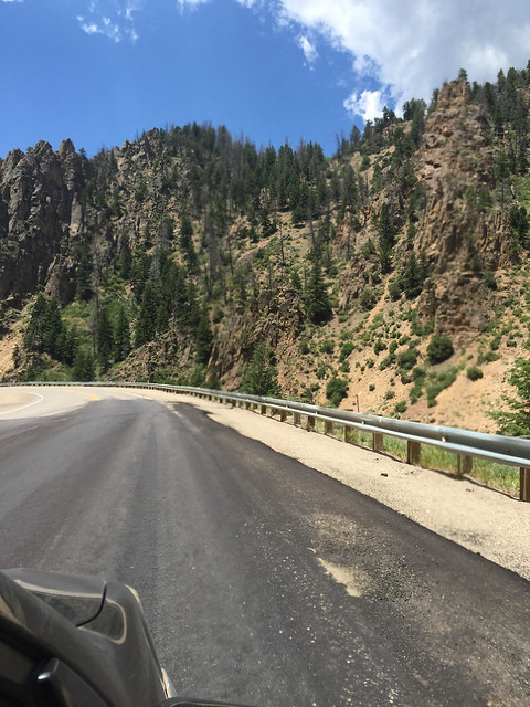
Trail Ridge Road, Colorado: Leila’s roadtrip and mine
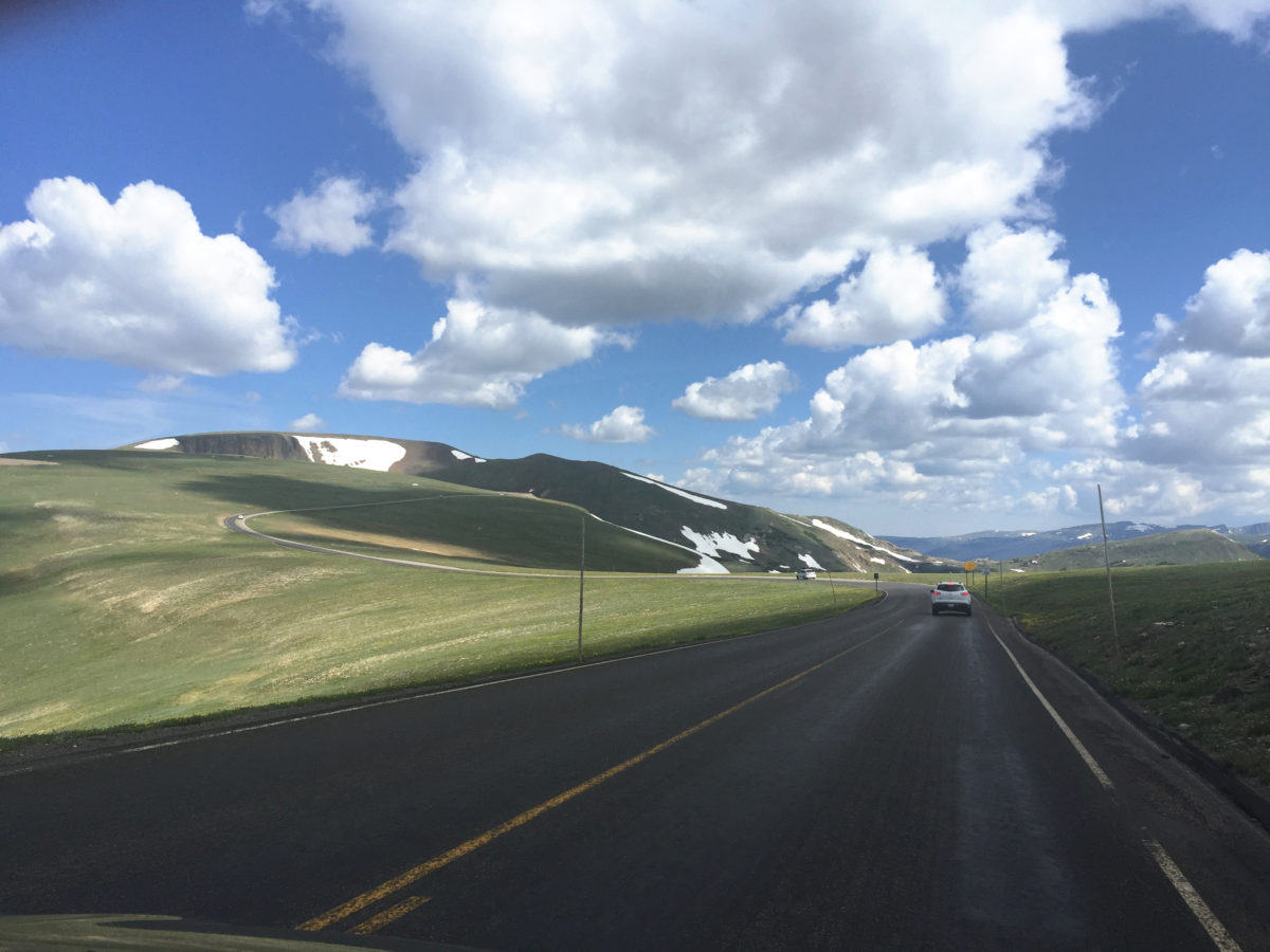
Most of the middle of our country is flatter than you can even believe. Like Leila, I grew up in Michigan and for the first 29 years of my life, hardly left it except one spring break trip to Florida. Even on that spring break trip, I didn’t see anything because we took a Greyhound overnight and the Appalachians I would have loved to see were completely dark.
When I first started writing about Leila’s road trip, I had just moved to Virginia and had finally seen a mountain or two for the first time in my life. Funny enough, maybe, I was at about the exact age Leila was in the book.
If I gave any of myself to Leila’s character, it was that she wanted to see a mountain.
So I thought that I should do a little bit of research for this chapter, having only ever seen Appalachian mountains. My favorite kind of research when writing about places is Google Street View. And yes, indeed, you can Google Street View all the way up Trail Ridge Road if you want to. My son was excited about this project, and we started out together, plotting along the highways one click at a time. If you ever really want to appreciate how BIG this country is, click along I-80 on Google Street View. My son lost interest somewhere before we got to Lake Michigan. I got through Indiana and Illinois before I decided that maybe I should skip ahead a little if I ever wanted to finish this project. If I were Leila in this scenario, I would only be finished with my first day of driving.
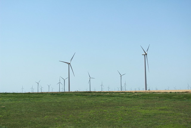
Thing is, those are some BIG states. Many of them take a whole day to get across. Coming from a place that’s split up by lakes and hills and forests, it’s impossible to imagine the magnitude of flatness a land can have. A whole horizon of flatness in 360 degrees. Not much more than a single tree, or a wind turbine, or a small farm shed to break up the vacancy. All through Nebraska, even a good way into Wyoming. Flat.
I thought to myself, “When are we going to see some mountains?”
I skipped ahead more and more to find out. It turns out, on I-80 alone, you wouldn’t see significant mountains until a good way into Wyoming. I put myself into Leila’s point of view—three days of driving across flat flat countryside, with two impatient kids in the back seat—we’re going to have to shake things up a bit. We’re going to have to take a detour.
Isn’t that how life is, though? Sometimes the most exciting and memorable things you’ll ever do came about because you took the detour.
And that was how Leila’s chapter 13 came about. That was also about the same point in time that I booked a roadtrip of my own to Colorado, because I had to see this with my own eyes.
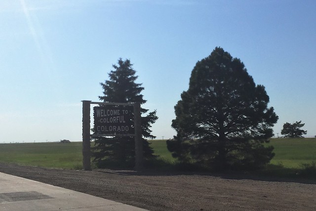
A funny thing about driving through the middle of the country, as you approach the Continental Divide, flat as flat can be, but did you know that you’re going uphill the entire way? If you have a car as old as mine is, you might even feel the engine whining hard to get uphill. I often wondered why it took so much effort to gain speed going west. Well, that’s why, because it’s all uphill, even if it doesn’t feel like it. You start off around 600 feet elevation near the Great Lakes and by the Wyoming border you’re already over 5000 feet in elevation, even though there is still not a mountain in sight!
I seem to have failed to capture the exact first moment I saw mountains on the horizon. Probably because I was busy driving. But also, I was probably busy being in awe. That, and I do recall a badass lightning storm we drove into at just about the point we also saw our first mountains, like hazy shadows at first, like you wonder whether they might be storm clouds instead.
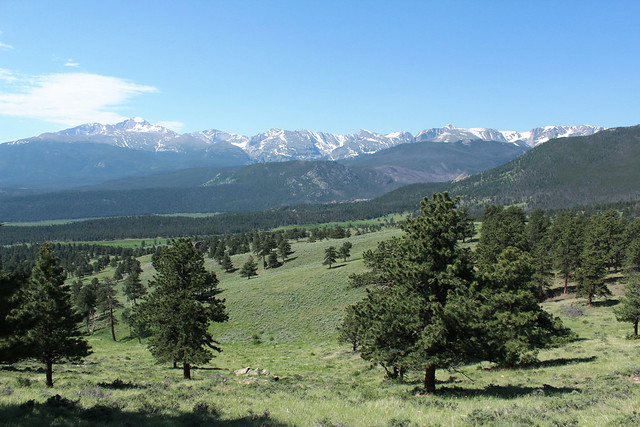
My photo stream went from flat to mountainous in about a blink. And here we are!
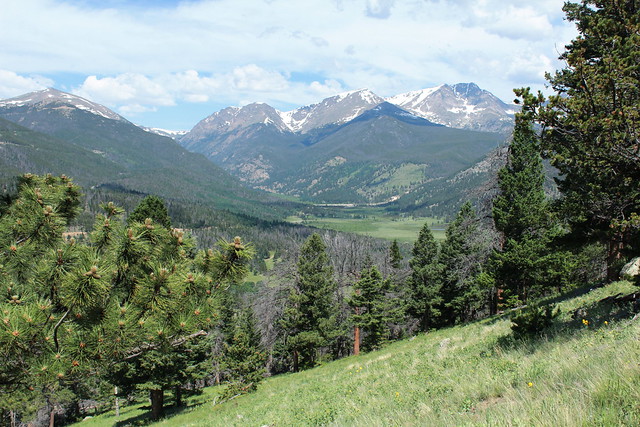
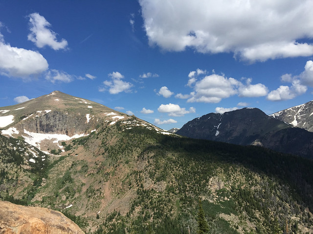
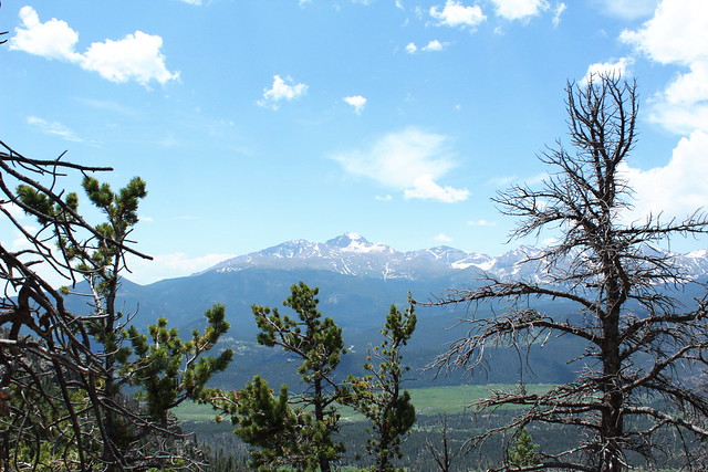 The views are already spectacular, even before you start up Trail Ridge Road.
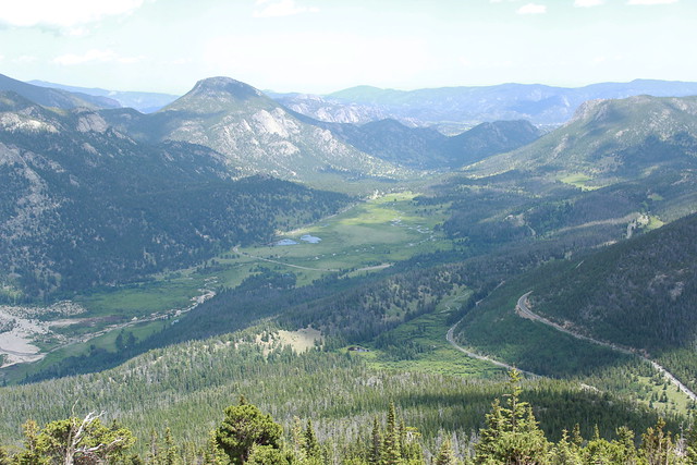
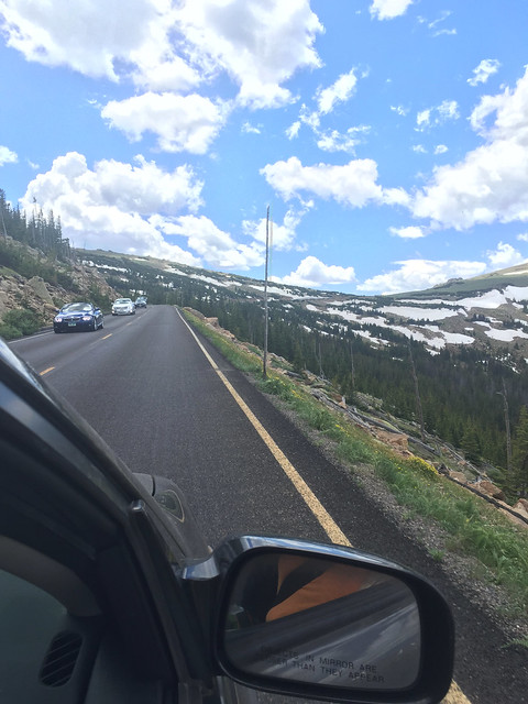
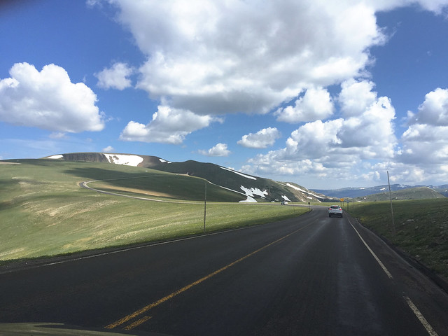
 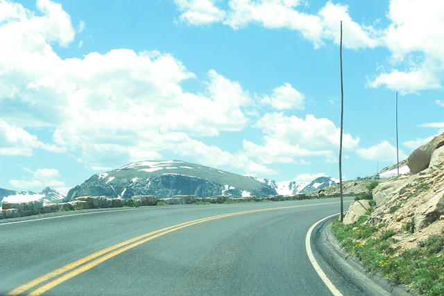 Heading up! In most places, there is little more than a tiny stone wall to edge the road. I would hardly call it a barrier. Yet the fall-off is not even the scariest part of the drive—that would be other crazy drivers, lol!
Just kidding. Truly, most of the drivers were very careful and respectful of their fellow travelers. It’s really not at all as scary to drive as it might seem.
See that little road winding up the mountain? That’s how you get up here!
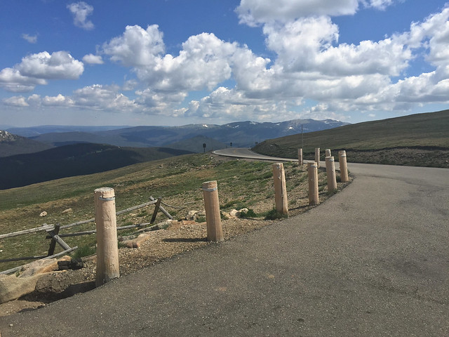
In many places, there is no barrier at all.

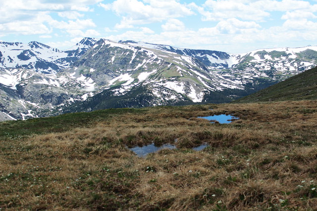
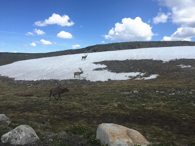
One of my favorite things about being at alpine level are these gorgeous little tundra plants. Trees can’t grow up here, but these little plants on the ground do just fine. I’m recalling a sign I read while at the visitor’s center: at head height, the winds up here can reach 150 mph, but just three inches off the ground, the winds are much slower, which allows these plants to thrive.
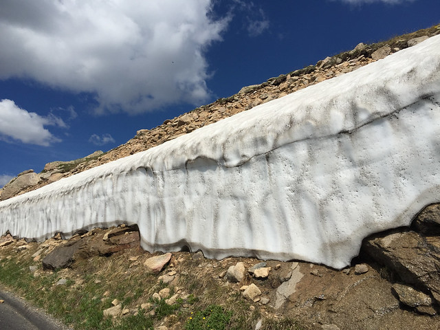
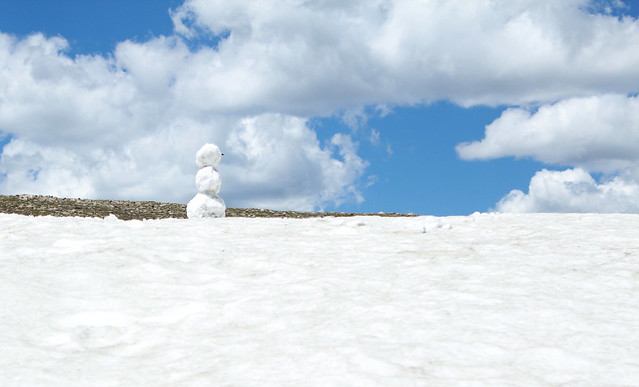
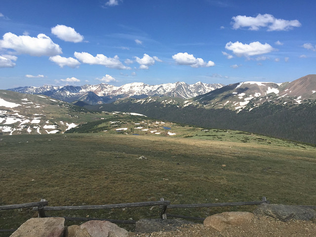
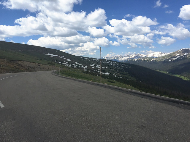
There is plenty of snow up here, even in the summer!
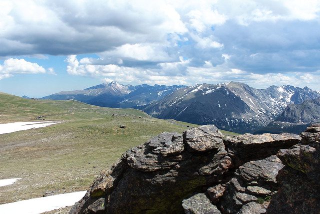
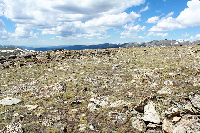
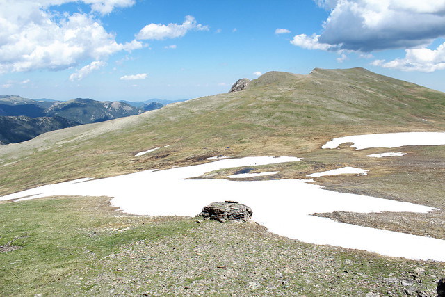
One of the most mind-blowing things was to reach the summit of the drive. You’re up at nearly 12,200 feet, but to glance around at the softly rolling hills, you might imagine you were back in Iowa again! But don’t be fooled, you are indeed on top of the world!
And then you head back down again with the memory of having walked among the clouds. If you ever find yourself driving through the middle of the country, I highly recommend you make a detour for Trail Ridge Road. Keep in mind, the drive is generally closed from October through May because of icy conditions. We went in June, and it was perfect! Take a jacket, make sure your car is in tip top shape, check the road conditions, and then go for it! It is truly the drive of a lifetime!
You can read about Leila’s great detour in The Fish and the Bird, available now!
